
OceansArt.US
|
Here are free, high resolution pictures taken along the length of the Cape Cod Canal. All the descriptions have yet to be added. Books about the Cape Cod Canal and other Canals are available here.
The Cape Cod Canal is a man-made waterway traversing the narrow neck of land that anchors Cape Cod to mainland Massachusetts. It is part of the Atlantic Intracoastal Waterway. The Canal is roughly 17.4 miles long (approximately 7 of which are cut through land) and connects Cape Cod Bay in the north to Buzzards Bay in the south. The 540-foot width of the canal is spanned by the Cape Cod Canal Railroad Bridge and two highway bridges, the Bourne and the Sagamore. Traffic lights govern the approach of vessels over 65 feet and are located at either end of the canal. The idea of constructing such a canal was first considered by Miles Standish of the Plymouth Colony in 1623, and Pilgrims scouted the low-lying stretch of land between the Manomet and the Scusset rivers for potential routes. In 1697 the General Court of Massachusetts considered the first formal proposal to build the canal, but apparently took no action. More energetic planning with surveys took place repeatedly in 1776 (per George Washington), 1791, 1803, 1818, 1824-1830, and 1860. None of these efforts came to fruition, however, and the first attempts at actually building a canal did not take place until the late 19th century. They either ran out of money or were overwhelmed by project's size. On June 22, 1909, construction finally began for a working canal under the direction of August Belmont, Jr's "Boston, Cape Cod and New York Canal Company", to designs by engineer William Barclay Parsons. The canal opened on a limited basis in 1914 and was completed in 1916. This privately owned toll canal had a maximum width of 100 feet (30 m), a minimum depth of 25 feet, and took a somewhat difficult route from Phinney Harbor at the top of Buzzards Bay. Due to the narrow channel and navigation difficulty, several accidents occurred which limited traffic and blackened the reputation of the Canal. As a result, toll revenues failed to meet investors' expectations. During World War I, German U-boats attacked ships travelling along the far Atlantic coast of Cape Cod, making the Canal an important "safe" shipping lane. In 1928 the government purchased the Canal for operation by the United States Army Corps of Engineers as a free public waterway. From 1935 to 1940, the government rebuilt the canal, increasing its approach width to 540 feet and its depth to 32 feet. It became the widest canal in the world. The southern entrance to the canal was rebuilt to proceed directly from Buzzards Bay, rather than through Phinney Harbor.
(Adapted from: Cape Cod Canal. (2008). From Wikipedia, The Free Encyclopedia)
See all the free photos, including other canals by going to the Photo Catalog. Click on any picture for a FREE larger version. Read the licensing rules (REVISED) for your needs. There are hundreds of high quality free photos: use the Google/site search engine. See our digital photography tips : DOs and Don'ts; Choosing a Camera and Accessories , Downloading Photos, and Editing Photos. Visit TechnologySite.org for free photos and lists of inventions and technology and learn Climate Change Facts to see for yourself if you are at risk from global warming.
|
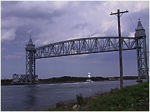 RailroadBridge.JPG Photo of the Cape Cod Canal Railroad Bridge |
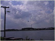 WindmillMassMaritimeAcademy.JPG Picture of windmill at the Massachusetts Maritime Academy located on the Cape Cod Canal. |
Books about Canals
|
|||||||
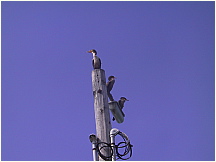 CormorantsOnPole.JPG Photograph of cormorants sitting on a utility pole on the Cape Cod Canal |
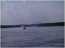 PleasureBoat.JPG PleasureBoat.JPGPhoto of a pleasure boat cruising through the Cape Cod Canal from Buzzards Bay to Sandwich and Cape Cod Bay |
|||||||||
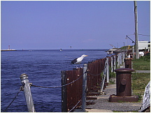 CapeCodCanalGulls.JPG Picture of seagulls on pilings on the Cape Cod Canal in Sandwich, Massachusetts |
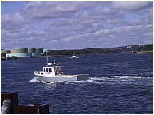 LobsterBoatRareBird.JPG Photograph of the lobsterboat RARE BIRD on the Cape Cod Canal near Sandwich and Cape Cod Bay |
|||||||||
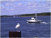 GullBoatsSagamoreBridge.JPG Photo of fishing boat KAREN JEAN on the Cape Cod Canal near Sandwich, MA |
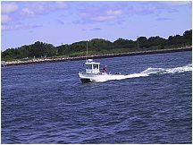 LobsterBoatCharterBoat.JPG Picture of a small lobster boat going through the Cape Cod Canal near Sandwich and Cape Cod Bay |
|||||||||
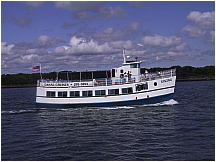 FerryBoatViking.JPG Photograph of the Cape Cod Canal Cruises ferry VIKING as it cruises the Canal to Cape Cod Bay |
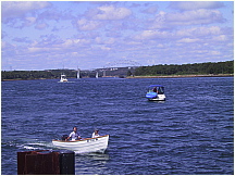 SkiffSagamoreBridge.JPG Photo of a skiff and other pleasure boats on the Cape Cod Canal with Sagamore Bridge in background |
|||||||||
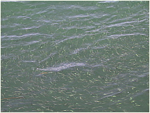 060826CapeCodCanal58BaitfishSwimming.JPG Picture of a bait fish school in the Cape Cod Canal near Sandwich, Massachusetts |
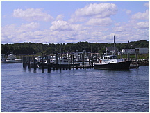 060826CapeCodCanal61PilotBoatDirector.JPG Photograph of the Cape Cod Canal Pilot Boat DIRECTOR docked in Sandwich, Massachusetts |
|||||||||
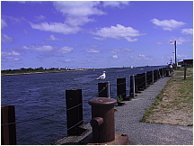 CapeCodCanalLookingEast.JPG Photo along the Cape Cod Canal in Sandwich, Massachusetts looking east toward Cape Cod Bay |
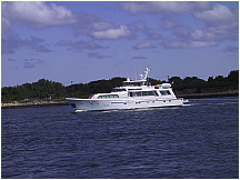 PleasureBoatBigZip.JPG Picture of the large pleasure boat BIG ZIP cruising in the Cape Cod Canal from Cape Cod Bay towards Buzzard's Bay |
|||||||||
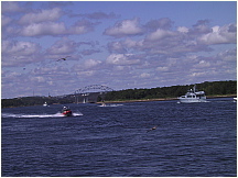 USCGPatrolBoatSagamoreBridge.JPG USCGPatrolBoatSagamoreBridge.JPGPhotograph of the Cape Cod Canal looking towards the Sagamore Bridge, featuring a USCG inflatable Patrol Boat and several pleasure craft. |
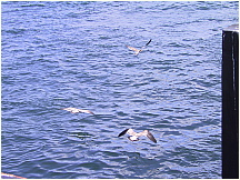 GullsInFlight.JPG GullsInFlight.JPGPhoto of seagulls in flight along the Cape Cod Canal |
|||||||||
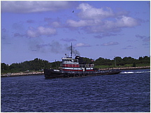 TugBoatOrion.JPG Picture of the tug boat ORION on it's way through the Cape Cod Canal |
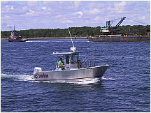 TugBoatBargeSportBoat.JPG Photograph of aluminum sport fishing boat SEARICAN, and tug boat ORION towing a barge on the Cape Cod Canal towards Buzzards Bay |
|||||||||
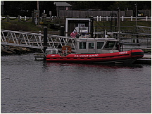 USCGPatrolBoat.JPG Picture of an USCC Patrol boat at dock in Sandwich, Massachusetts along the eastern side of the Cape Cod Canal. |
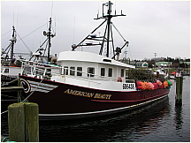 LobsterBoatAmericanBeauty.JPG LobsterBoatAmericanBeauty.JPGPhoto of the lobster boat AMERICAN BEAUTY docked in Sandwich, Massachusetts at the Sandwich Boat Basin on the Cape Cod Canal |
|||||||||
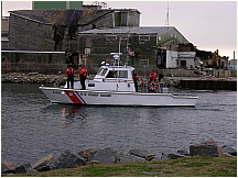 USCG41491.JPG Picture of the US Coast Guard boat 41491 entering the Sandwich Boat Basin dock along the Cape Cod Canal near ruined fish processing plant |
|
|||||||||
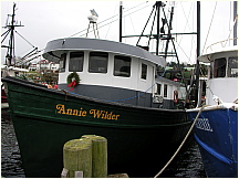 TrawlerAnnieWilder.JPG Picture of fishing trawler ANNIE WILDER docked at the Sandwich Boat Basin on the eastern side of the Cape Cod Canal |
Offshore Lobsterboat VIRGINIA MARIE tied up at its berth in the Sandwich Boat Basin at the east end of the Cape Cod Canal. The vessel fishes and is also chartered for lobster research. | |||||||||
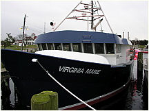 FishingBoatVirginiaMarie.JPG Offshore Lobsterboat VIRGINIA MARIE tied up at its berth in the Sandwich Boat Basin at the east end of the Cape Cod Canal. The vessel fishes and is also chartered for lobster research. |
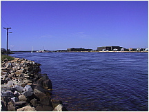 cape_cod_canal.JPG Picture of the Cape Cod Canal lookingwest towards Buzzards Bay and the Massachusetts Maritime Academy |
|||||||||
This page last updated or reviewed in January 2015
Visit http://www.TechnologySite.org for free
photos and lists of inventions and technology. Visit http://www.ClimateChangeFacts.info for unbiased
information about climate change. Visit http://www.ClimateCooling.org for eye-opening
biased information on global cooling and climate change and visit http://www.OceanAssoc.com for fisheries
and oceans consulting services.