
OceansArt.US
|
Free photos around the suburbs of Arequipa. Arequipa is a large city in southern Peru and the nation's second most important city. It is also the capital of the Arequipa Province, 633.8 miles from Lima. The city lies in the highlands at the foot of the snow-capped volcano El Misti. El Misti is currently inactive, but erupted strongly between 1438 and 1471. Several smaller eruptions have occurred since then, most recently in 1870. Arequipa has over 80 volcanoes which can be found in the Valley of Volcanoes. Arequipa has many fine colonial-era Spanish buildings built of sillar, a pearly white volcanic rock used extensively in the city, and from which it gets its nickname La Ciudad Blanca ("the white city"). The historic center of the city was named a UNESCO world heritage site in 2000, in recognition of its architecture and historic integrity. The city is located at an altitude of 2,380 meters (7740 feet) above sea level. El Misti is located between two smaller volcanoes - Chachani "the Beloved" and Picchu Picchu "Top Top" - both named in the Quechua language of the ancient Inca Empire.
(Adapted from: Arequipa, Peru. (2008). From Wikipedia, The Free Encyclopedia and from the Embassy of Peru)
See all the free photos, including other photos of Peru by going to the Photo Catalog. Click on any picture for a FREE larger version. Read the licensing rules (REVISED) for your needs. There are hundreds of high quality free photos: use the Google/site search engine. See our digital photography tips : DOs and Don'ts; Choosing a Camera and Accessories , Downloading Photos, and Editing Photos. Visit TechnologySite.org for free photos and lists of inventions and technology and learn Climate Change Facts to see for yourself if your area is at risk from global warming or global cooling.
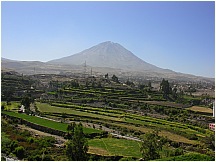 01arequipacountryside.jpg Countryside, with terraced farm fields under the volcano El Misti near Arequipa, Peru |
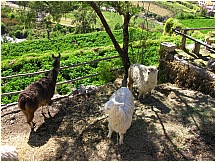 02arequipacountryside.jpg Countryside, with terraced farm fields and alpacas near Arequipa, Peru |
|
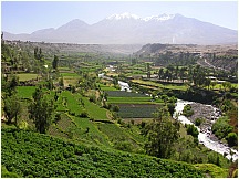 03arequipacountryside.jpg Countryside, with terraced farm fields and stream under the Chachani Volcano near Arequipa, Peru |
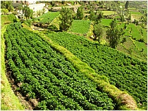 04arequipacountryside.jpg Countryside, with terraced farm fields near Arequipa, Peru |
|
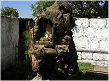 05arequipacountryside.jpg Virgin Statue carved in a tree hollw near Arequipa, Peru |
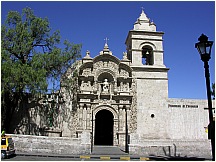 06arequipacountryside.jpg Yanahuara's Church near Arequipa, Peru |
|
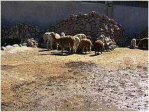 07arequipacountryside.jpg Alpacas near Arequipa, Peru |
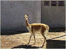 08arequipacountryside.jpg Guanaco near Arequipa, Peru |
|
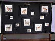 09arequipacountryside.jpg Sign showing differences between Guanacos, Llamas, Vacuñas and Alpacas near Arequipa, Peru |
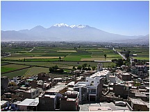 10arequipacountryside.jpg Chachani Volcano as seen from the Mirador de Sachaca near Arequipa, Peru |
|
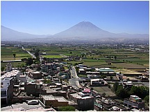 11arequipacountryside.jpg Countryside, looking over rooftops towards the volcano El Misti near Arequipa, Peru |
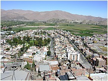 12arequipacountryside.jpg Rooftops of the city as seen from the Mirador de Sachaca near Arequipa, Peru |
|
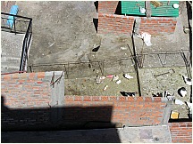 13arequipacountryside.jpg Rooftop pens with ducks, geese and chickens as seen from the Mirador de Sachaca near Arequipa, Peru |
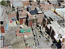 14arequipacountryside.jpg Rooftop pens with ducks, geese and chickens as seen from the Mirador de Sachaca near Arequipa, Peru |
|
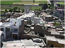 15arequipacountryside.jpg Rooftops of the city as seen from the Mirador de Sachaca |
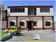 16arequipacountryside.jpg Municipal Building of Sachaca near Arequipa, Peru |
|
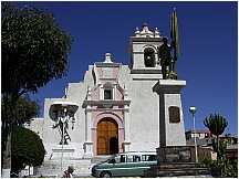 17arequipacountryside.jpg Church of Sachaca near Arequipa, Peru |
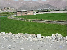 18arequipacountryside.jpg Farm fields in the countryside near Arequipa, Peru wih election signs on the mountainside. |
|
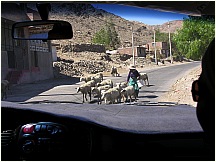 19arequipacountryside.jpg Herding sheep down the road in the countryside near Arequipa, Peru |
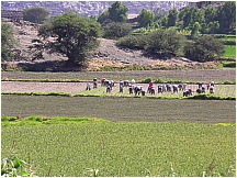 20arequipacountryside.jpg Harvesting onions in the countryside near Arequipa, Peru |
|
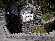 21arequipacountryside.jpg Entrance to Sachaca's Founder's House near Arequipa, Peru warning to avoid cholera by not dumping trash in the stream |
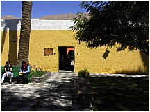 22arequipacountryside.jpg Entrance to Sachaca's Founder's House near Arequipa, Peru |
|
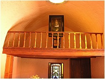 23arequipacountryside.jpg Sachaca's Founder's House near Arequipa, Peru |
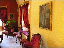 24arequipacountryside.jpg Salon in Sachaca's Founder's House near Arequipa, Peru |
|
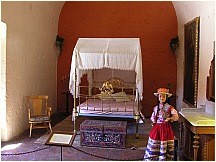 25arequipacountryside.jpg Bedroom in Sachaca's Founder's House near Arequipa, Peru |
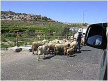 26arequipacountryside.jpg Sheep being herded on the road in the countryside near Arequipa, Peru |
|
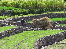 27arequipacountryside.jpg Find the horse under its load - in the countryside near Arequipa, Peru |
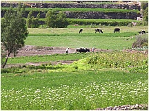 28arequipacountryside.jpg Two oxen and two men plowing a field in the countryside near Arequipa, Peru |
|
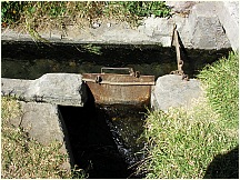 29arequipacountryside.jpg Water gate for irrigated terraces in the countryside near Arequipa, Peru |
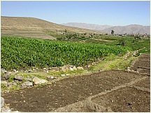 30arequipacountryside.jpg Irrigated terraces waiting for planting in the countryside near Arequipa, Peru |
|
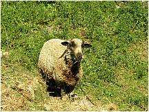 31arequipacountryside.jpg Sheep tethered in the countryside near Arequipa, Peru |
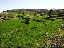 32arequipacountryside.jpg Terraces in the countryside near Arequipa, Peru |
|
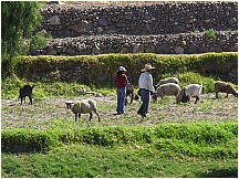 33arequipacountryside.jpg Sheep being tended in the countryside near Arequipa, Peru |
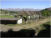 34arequipacountryside.jpg Thatched roof buildings of a horse ranch in the countryside near Arequipa, Peru |
|
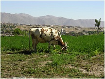 35arequipacountryside.jpg Cattle tethered in the countryside near Arequipa, Peru |
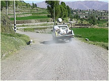 36arequipacountryside.jpg Election loudspeaker campaign truck in the countryside near Arequipa, Peru |
|
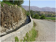 37arequipacountryside.jpg Irrigation water flowing to terraced fields in the countryside near Arequipa, Peru |
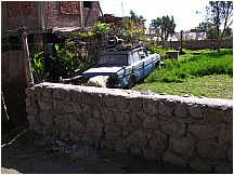 38arequipacountryside.jpg Trashy yard on a farm in the countryside near Arequipa, Peru |
|
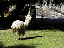 39arequipacountryside.jpg Alpaca in the countryside near Arequipa, Peru on the grounds of the water mill Molino de Sabandia |
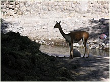 40arequipacountryside.jpg Guanaco in the countryside near Arequipa, Peru on the grounds of the water mill Molino de Sabandia |
The fertile valley in which Arequipa is
situated has been occupied back to 5000 – 6000 BCE. In the 15th century,
the region, then occupied by Aymara Indians, was conquered by the Inca
and served as an important supplier of agrarian products to the Inca
Empire. The modern city of Arequipa was founded on 15 August 1540,
by Garcí Manuel de Carbajal, an emissary of Spanish conquistador Francisco
Pizarro. One year later, King Charles V of Spain gave it the rank of
'city' and the coat of arms that it still bears. Spanish influence
left many relics and colonial architecture, which reminds the visitor
of the city's colonial past, when it was the city with the highest
proportion of Spanish population in Viceroyalty of Peru. This led Arequipa
to develop a large Peruvian population as its demographics changed
and grew over the centuries. Since the late 1940's, however, there
has been a huge and increasing immigration from the Peruvian sierra,
thus changing the demographic and cultural character of the city.
Throughout history Arequipa remained relatively isolated during colonial
and early republican times, but that changed in 1870 when a Southern
railroad to the coastal port of Mollendo was inaugurated, opening trade
via the Pacific Ocean. The building and expansion of more roads in
the 1930s also led to a direct connection with the Pan-American Highway,
strengthening Arequipa's links to the rest of the Americas. Since then,
the city has remained the center of commerce between Lima and all of
southern Peru. Arequipa served as a bastion of nationalism during Peru's
struggle for independence from Spain in the early 19th century. Later,
it served as a rallying point during the War of the Pacific (1879 – 1883)
with Chile. The city has two principal universities — the Universidad
Nacional de San Agustín de Arequipa, the local state university (founded
1828), and the Universidad Católica de Santa María
(founded in 1961), a private institution. One of Peru's largest stadiums,
Estadio Monumental de la UNSA, is also located in Arequipa and hosted
some of the 2004 American Soccer Cup soccer games, attracting many tourists
as well as locals. As the second largest city in Peru, Arequipa is influenced
by both Andalusian and Spanish Colonial ideas and architecture, such
as the popular Santa Catalina Monastery, the Goyeneche Palace, Casa del
Moral, and the popular district of Yanahuara. Arequipa has many valuable
archaeological and tourist resources including the Colca Canyon, one
of the deepest in the world and an ideal spot for observing the magnificent
Andean Condor. Arequipa is served by the Rodriguez Ballon International
Airport. The city is located at the foothill of three mountains. Arequipa
is dry and sunny all year long.
(Adapted from: Arequipa, Peru. (2008). From Wikipedia, The Free Encyclopedia and from the Embassy of Peru)
->
This page last updated January 2015
Visit http://www.TechnologySite.org for free
photos and lists of inventions and technology. Visit http://www.ClimateChangeFacts.info for unbiased
information about climate change. Visit http://www.ClimateCooling.org for eye-opening
biased information on global cooling and climate change and visit http://www.OceanAssoc.com for fisheries
and oceans consulting services.