Free High Quality Shore Pictures of Fairhaven, Massachusetts.
Located on the North coast of Buzzards Bay, Fairhaven shares the harbor with the major fishing city of New Bedford. Perhaps half the New Bedford fleet is from Fairhaven as it likely was during the heyday of whaling. On the East side of Fairhaven lies Nasketucket Bay and Little Bay. A causeway joins West Island to the mainland of Sconticut Neck. Fairhaven is located along Route I-195, between Providence, RI, and Cape Cod. See a video by Alan Hemenway of Fort Phoenix and the Fairhaven, MA - New Bedford Harbor.
The area was first settled by the American Indians, then the Pilgrims. The American Revolution brought warfare and the first American naval battle in 1775. The British attacked and torched part of the town in 1778. The population of the town is about 17,000. Joshua Slocum rebuilt the sloop SPRAY and sailed it around the world.
See all the free photos: Photo Catalog. Click on any picture for a FREE larger version. Read the licensing rules (REVISED) for your needs. There are hundreds of high quality free photos: use the Google/site search engine. See our digital photography tips : DOs and Don'ts; Choosing a Camera and Accessories , Downloading Photos, and Editing Photos. Visit TechnologySite.org for free photos and lists of inventions and technology and learn Climate Change Facts to see for yourself if you are at risk from global warming.
|
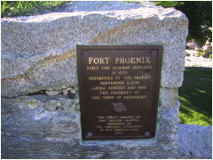
Fort Phoenix provided the eastern defenses of the harbor. During the American Revolution, British troops attacked the town. It was named Phoenix to honor its rebirth. |
Plaque at Fort Phoenix. The first naval battle of the war took place nearby in 1775. The fort was enlarged before the War of 1812, and helped repel an attack on the harbor by British forces. It was decommissioned in 1876. |
|
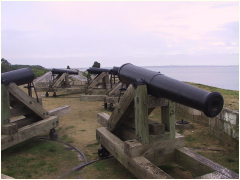 A3FortPhoenixFhvn.JPG Eight 24-pound cannon were installed at the beginning of the civil war, five of which remain at the fort today. |
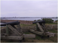 A4FtPhoenix.JPG Two cannon looking out over the outer harbor, past the hurricane barrier. |
||
|
|
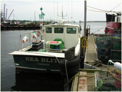 D0607LobsterBoat.JPG Lobster boat SEA BLITZ at Union Wharf |
||
|
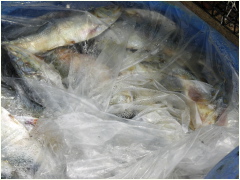
Lobster bait (salted herring) at Union Wharf |
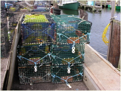
Lobster pots at Union Wharf |
||
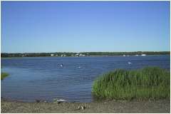 LittleBay.JPG Little Bay at the foot of Edgewater Street |
|
||
|
Little Bay at the foot of Edgewater Street looking North |
Little Bay at the foot of Edgewater Street looking South |
||
|
Nasketucket Bay at the foot of Ocean View |
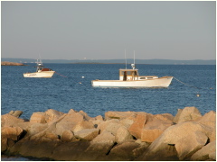
Nasketucket Bay at the foot of Ocean View with lobsterboat LOOSE GOOSE |
||
|
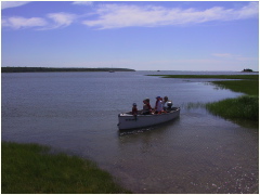
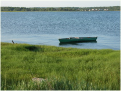
Nasketucket Bay with canoe at the foot of Ocean View |
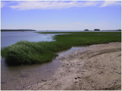
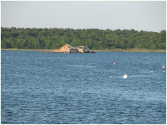
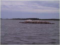
Nasketucket Bay and Saddle Rock |
||
|
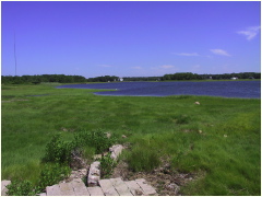
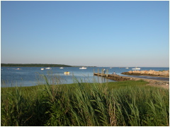
Nasketucket Bay |
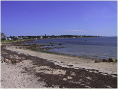
Red Rock Beach on West side of Sconticut Neck |
||
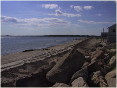 RedRockBeach.JPG Red Rock Beach on West side of Sconticut Neck |
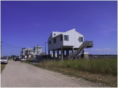 RedRockBeachHouseStilts.JPG Houses on stilts along Red Rock Beach on West side of Sconticut Neck |
||
|
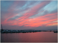
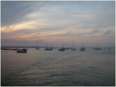
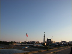
Sunset over Earl's Marina along the West Island Causeway |
Sunset over Earl's Marina along the West Island CAuseway |
||
|
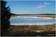
Winter ice along the West Island Causeway |
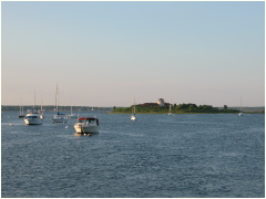
Hoppy's Marina along the West Island Causeway |
||
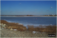 WestIslandShoreIce2JacksCove.JPG |
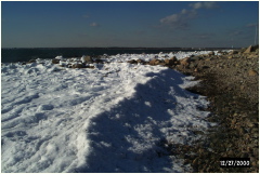
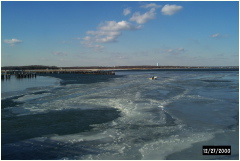 WestIslandShoreIce3.JPG Winter ice along the West Island Causeway |
||
|
Winter ice along West Island, Fairhaven, Massachusetts |
Looking North along the West Island Causeway |
