
OceansArt.US
|
These free photos (below text) are
of the Classic Trail (four-day trek).
The four-day trail started at km 82, on the Urubamba River,
from Ollantaytambo.
The first day is relatively easy, covering no more than 13 km in a few hours,
passing by the Inca ruins of Llaqtapata, a site used for crop production and
which has remained well preserved.
Day two includes the ascent to Warmiwañusca or Dead Woman's Pass, (or
Sleeping Woman's Pass) which, at 4,215 m above sea level, is the highest point
on the trail. Day three starts with the final climb to Dead Woman's Pass, although
some groups climb to the top of the pass on the second day and camp 600m below
it on the other side at Pacaymayu. The views from the top provide excellent
views of nearby mountains such as Salkantay and Veronika. After a second pass
is the site of Sayaqmarka, perched atop a sheer cliff. After Sayaqmarka the
Trail continues through thick cloud forest and jungle, filled with tropical
flowers and colourful orchids. The third and final pass is Phuyupatmarka.
The final day sees a descent past Winay Wayna, an impressive and well-preserved
Inca site, where the one-day trail meets up with the main route.
Among the many roads and trails constructed
in pre-Columbian South America, the Inca road system (El Camino Inca) of Peru
was the most extensive. Traversing the Andes mountains and reaching heights
of over 5,000 m (16,500 feet) above sea level, the trails connected the
regions of the Inca empire from the northern provincial capital in Quito, Ecuador
past the modern city of Santiago, Chile in the south. The Inca road system
covered approximately 22,500 km (14,000 mi) and provided access to over three
million km² of territory. The Incas did not have wheels, and did
not have horses until the arrival of the Spanish in Peru in the 16th century,
so the trails were used almost exclusively by people walking, sometimes
accompanied by pack animals, usually the llama.
The trails were used as a means of relaying messages, carried
via knotted-cord quipu and by memory; and for transporting goods. Messages
could be carried by chasqui runners covering as much as 240 km (150 mi)
per day, working in relay fashion much like the Pony Express of the 1860s
in North America. The unheralded part of this is that much of this was
on steps that are often slippery and wet.
There were approximately 2,000 inns, or tambos, placed at even intervals along the trails. The inns provided food, shelter and military supplies to the tens of thousands who traveled the roads. There were corrals for llamas and stored provisions such as corn, lima beans, dried potatoes, and llama jerky. Along the roads, local villagers would plant fruit trees that were watered by irrigation ditches. This enabled chasqui runners and other travelers to be refreshed while on their journeys. Inca rope bridges provided access across valleys.
Many of the trails converge on the center of the empire, the Inca capital
city of Cusco. Therefore, it was easy for the Spanish conquistadors to
locate the city. Traversing the trails on horseback proved to be difficult
and treacherous for the Spanish in their attempts to conquer the Inca Empire.
By far the most popular of the Inca trails for trekking is the Capaq Nan trail, which leads from the village of Ollantaytambo to Machu Picchu, the so-called "Lost City of the Incas". There are many well-preserved ruins along the way, and hundreds of thousands of tourists from around the world make the three- or four-day trek each year, accompanied by guides. The Inca Trail to Machu Picchu is actually three routes, which all meet up near Inti-Pata, the 'Sun Gate' and entrance to Machu Picchu. The three trails are known as the Mollepata, Classic and One Day trails, with Mollepata being the longest of the three. Passing through the Andes mountain range and sections of the Amazon rainforest, the Trail passes several well-preserved Inca ruins and settlements before ending at the Sun Gate on Machu Picchu mountain. The two longer routes require an ascent to beyond 12,000 ft (3,660 m) above sea level, which can result in altitude sickness.
Concern about overuse leading to erosion has led the Peruvian government
to place a limit on the number of people who may hike this trail per season,
and to sharply limit the companies that can provide guides. As a result,
advance booking is mandatory. A maximum of 500 people, including guides
and porters, are permitted to begin the trail every day. As a result, the
high season books out very quickly.
(Adapted from: Inca road system. (2007, June). From Wikipedia, The Free Encyclopedia.)
See all the free photos, including other photos of Peru by going to the Photo Catalog. Click on any picture for a FREE larger version. Read the licensing rules (REVISED) for your needs. There are hundreds of high quality free photos: use the Google/site search engine. See our digital photography tips : DOs and Don'ts; Choosing a Camera and Accessories , Downloading Photos, and Editing Photos. Visit TechnologySite.org for free photos and lists of inventions and technology and learn Climate Change Facts to see for yourself if your area is at risk from global warming or global cooling.
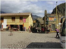 01incatrailollantaytambo.jpg Hiker buses often stop at Ollantaytambo plaza for breakfast and walking sticks (essential for steep stairs) |
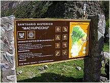 02incatrail.jpg Map at the entrance to the MachuPicchu historic sanctuary, which contains the park. |
|
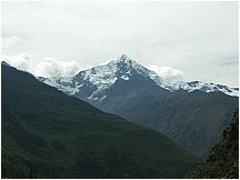 04incatrail_.jpg Andes mountains as seen from the Inca Trail |
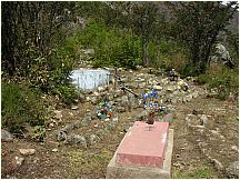 05incatrail_.jpg Cemetery along the Inca Trail |
|
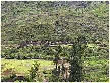 06incatrail_.jpg Farming area along the Inca Trail |
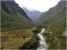 07incatrail.jpg Stream that runs to the Urabamba River |
|
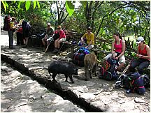 08incatrail.jpg Hikers taking a break along the the Inca Trail with local pigs and turkeys |
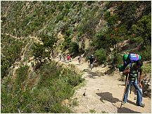 09incatrail_.jpg Hikers going up a steep climb on the Inca Trail |
|
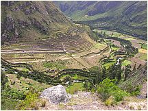 10incatrail_.jpg Inca city ruins along the Urabamba River. Note the lower terraces in the shape of a serpent, an important Inca god. |
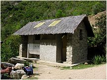 11incatrail_.jpg A typical toilet facility along the Inca Trail |
|
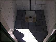 11zincatrailtoilet.jpg A typical toilet along the Inca Trail. No seats, just squatting, of the style in much of Russia and East Asia. |
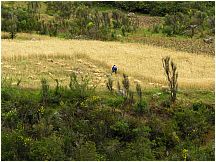 12incatrail.jpg Farmer harvesting grain along the Inca Trail |
|
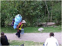 13incatrail_.jpg Porter carrying a typical load along the Inca Trail |
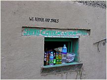 14incatrail.jpg Local "Shopping Center" along the first part of the Inca Trail |
|
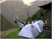 15incatrail.jpg Camping site for the first night of the 4 day trek, with the Sleeping Woman's pass (or Dead Woman's Pass) in the background, along the Inca Trail |
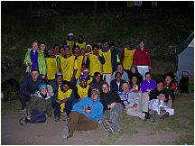 16incatrail_.jpg Hikers and support crew, which outnumber hikers by about 1.4 to 1 along the Inca Trail |
|
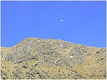 17incatrail.jpg Clear air view of the moon in broad daylight along the Inca Trail |
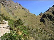 18incatrail_.jpg Trail ascending to Sleeping Woman pass (or Dead Woman's Pass) on the Inca Trail |
|
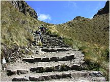 19incatrail_.jpg Steep climb on stairs along the Inca Trail to the Sleeping Woman's pass (or Dead Woman's Pass) |
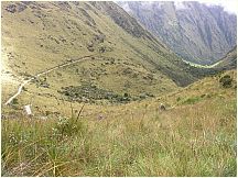 21incatrail_.jpg A more gentle descent along the Inca Trail after the Sleeping Woman's pass (or Dead Woman's Pass) |
|
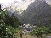 22incatrail.jpg An Inca watchtower at a convergence of trails |
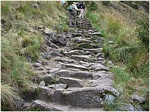 23incatrail_.jpg Very steep climb on stairs along the Inca Trail |
|
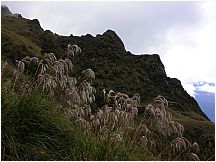 24incatrail_.jpg Wild grains along the Inca Trail |
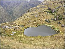 25incatrail_.jpg An Alpine lake at high altitude near the Sleeping Woman pass |
|
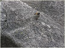 26incatrail.jpg A sparrow along the Inca Trail |
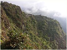 27incatrail_.jpg Inca ruins along the Inca Trail |
|
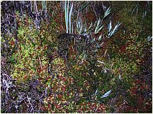 28incatrail.jpg Lichen at high altitude along the Inca Trail |
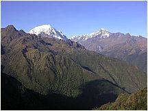 29incatrail_.jpg Clear air at high altitude along the Inca Trail |
|
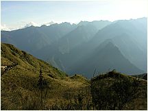 30incatrail.jpg Clear air at high altitude along the Inca Trail showing far off mountains |
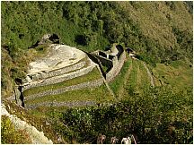 31incatrail_.jpg Inca ruins along the Inca Trail |
|
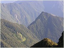 32incatrail_.jpg Clear air at high altitude along the Inca Trail |
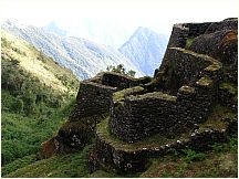 33incatrail.jpg Inca fortification along the Inca Trail |
|
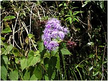 34incatrailflowerpurple.jpg Beautiful purple flower along the Inca Trail |
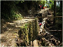 35incatrail.jpg Inca Trail undergoing repairs after a washout |
|
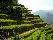 36incatrail.jpg Terraces of an ancient Incan city along the Inca Trail in Peru |
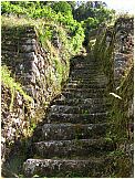 37incatrail.jpg Staircase to an ancient Incan city along the Inca Trail in Peru |
|
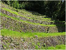 38incatrail_.jpg Terraces used to grow crops for an ancient Incan city along the Inca Trail in Peru |
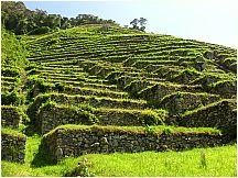 40incatrail.jpg Terraces used to grow crops for an ancient Incan city along the Inca Trail in Peru. Note the rock outcropping for steps between terraces |
|
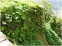 41incatrailsquashvines.jpg Terrace with melons as used at ancient Incan city along the Inca Trail in Peru |
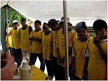 42incatrailporterstips.jpg Porters ligned up to receive their tips for the trek along the Inca Trail in Peru |
|
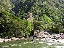 45incatrail.jpg Terraces andr an ancient Incan city at a junction of the Urabamba River and the Inca Trail in Peru |
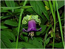 46incatrailflowerprettypurple.jpg Purple flower along the Inca Trail in Peru |
|
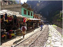 47incatrail_.jpg Rail lines going down the main street in Aguas Calientes the main nearby city for tours of Machu Picchu |
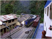 48incatrailtrain_.jpg Passenger train arriving in the main street in Aguas Calientes, the main nearby city for tours of Machu Picchu |
This page last updated January 2015
Visit http://www.TechnologySite.org for free
photos and lists of inventions and technology. Visit http://www.ClimateChangeFacts.info for unbiased
information about climate change. Visit http://www.ClimateCooling.org for eye-opening
biased information on global cooling and climate change and visit http://www.OceanAssoc.com for fisheries
and oceans consulting services.