
OceansArt.US
|
49 Photos of AZA staff at Shepherdstown, West Virginia
As of the census of 2000, there were 803 people, 410 households,
and 168 families residing in the town. The median income for a household in
the town was $40,750, and the median income for a family was $55,000.
Colonial settlers began their migration into the northern end of the Shenandoah
Valley in the early 1700s. The Colony of Virginia began issuing Valley land
grants in the 1730s. In 1734, Thomas Shepherd was granted 222 acres on the south
side of the "Potowmack" river, along the Falling Spring Branch (now
known as the Town Run). From that tract he selected 50 acres and laid out a
town. In 1762, the Virginia General Assembly chartered the town of Mecklenburg.
Thomas Shepherd was the sole trustee: he owned the town and was responsible
for its government. More than twenty natural springs feed Town Run before it
enters the south end of town. It never floods, nor runs dry; it meanders through
backyards, under houses, across alleys and beneath five streets. This setting
was conducive to millers, tanners, potters, smiths and other artisans. As a
result, by 1775 it boasted 1,000 inhabitants.
On December 3, 1787, James Rumsey conducted a successful trial
of his new invention, the steamboat, in the Potomac at the north end of Princess
Street. A second charter, which allowed for self-government, was granted in
1794. In 1798, the corporate limits were extended and the name was changed to
Shepherd's Town. After the Civil War, the town's name was officially contracted
to Shepherdstown. The part of the C&O Canal, across the river from Shepherdstown,
was built during the 1830s. Shepherdstown is the only town, in what is now the
state of West Virginia, to have a canal lock named for it. Lock No.38 was the
"Shepherdstown Lock."
After the Civil War Battle of Antietam, September 17, 1862, General Robert E.
Lee's infantry crossed the Potomac at Pack Horse Ford. The town was overwhelmed
with 5000 to 8000 casualties of that battle. Every house, building, church,
alley and street was filled with the wounded and dying. The Battle of Shepherdstown
(also known as the Battle of Boteler's Ford or Cement Mill) occurred on September
20, 1862, during Lee's retreat. More than 100 Confederate soldiers died here
and were buried in Elmwood Cemetery.
Presently, many of the town's historical buildings on German Street are home
to quaint little shops and cafés. The town is also home to many local
artistic and theatrical groups, many of which are affiliated with Shepherd University
or operated by youth groups.
(Adapted from: Shepherdstown, West Virginia. (2006, September 5). In Wikipedia, The Free Encyclopedia.)
See all the free photos of OceanArt.US Click on any picture for a FREE larger version. Read the licensing rules (REVISED) for your needs. There are hundreds of high quality free photos: use the Google/site search engine. See our digital photography tips : DOs and Don'ts; Choosing a Camera and Accessories , Downloading Photos, and Editing Photos. Visit TechnologySite.org for free photos and lists of inventions and technology and learn Climate Change Facts to see for yourself if you are at risk from global warming.
|
|
 0610061141AZAinWVA.JPG Barbara |
|
 0610061146AZAinWVA_2.JPG Kim & Karen |
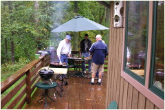 0610061149AZAinWVA.JPG Jim, Tim & Todd |
|
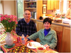 0610061153AZAinWVA_2.JPG Bill & Laura |
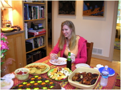 0610061153AZAinWVA_3.JPG Stacey |
|
 0610061155AZAinWVA.jpg |
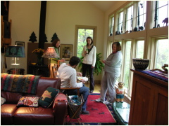 0610061155AZAinWVA_2.jpg Mark, Dot, Kim & Karen |
|
 0610061157AZAinWVA.jpg Jim |
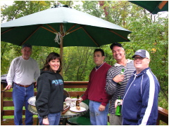 0610061157AZAinWVA_2.jpg Jim, Ruth, Telly, Steve & Todd |
|
 0610061212AZAinWVA.jpg |
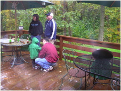 0610061215AZAinWVA.jpg Chris, Telly, Ruth & Todd |
|
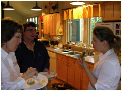 0610061216AZAinWVA.jpg Kris, Ian & Brandie |
 0610061219AZAinWVA.jpg Samantha, Isaac, Nicki, Steve, Kris |
|
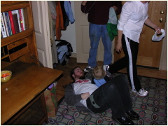 0610061233AZAinWVA.jpg Ben & Pip |
 0610061233AZAinWVA_2.jpg Becky & Emma |
|
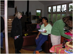 0610061233AZAinWVA_3.jpg Betsy, Nicki, Dot |
 0610061234AZAinWVA.jpg Dot, Emma & Becky |
|
 0610061234AZAinWVA_2.jpg Chris & Telly |
 0610061236AZAinWVA.jpg Steve, Matt |
|
 0610061236AZAinWVA_2.jpg Reggie |
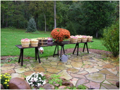 0610061237AZAinWVA.jpg Apples from Rillem Orchard |
|
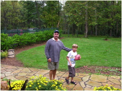 0610061237AZAinWVA_2.jpg Steve & Matt |
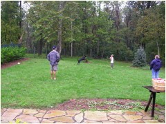 0610061239AZAinWVA.jpg Steve & Matt |
|
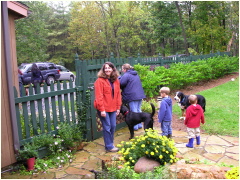 0610061243AZAinWVA.jpg Laura & Geri |
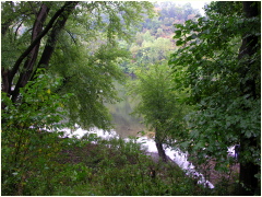 0610061253PotomacRiver.JPG View from above of Potomac River at Shepherdstown, West Virginia |
|
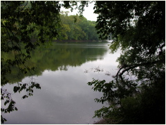 0610061254PotomacRiver.JPG |
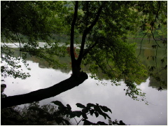 0610061254_2PotomacRiver.JPG |
|
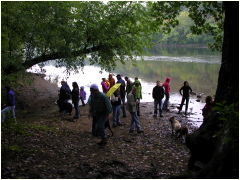 0610061255AZAinWVA.JPG AZA staff visiting Potomac River at Shepherdstown, West Virginia |
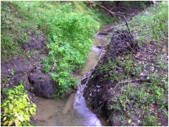 0610061255_2PotomacRiver.JPG Brook flowing into Potomac River at Shepherdstown, West Virginia |
|
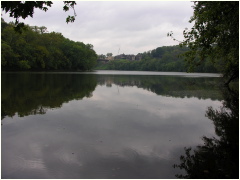 0610061256_1PotomacRiver.JPG Potomac River at Shepherdstown, West Virginia |
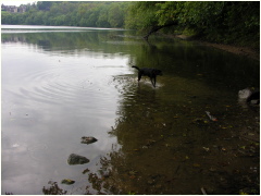 0610061257PotomacRiver.JPG Potomac River at Shepherdstown, West Virginia |
|
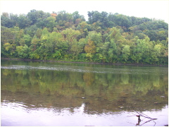 0610061257_2PotomacRiver.JPG Potomac River at Shepherdstown, West Virginia |
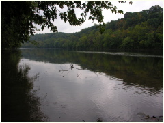 0610061257_PotomacRiver.JPG Potomac River at Shepherdstown, West Virginia |
|
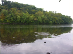 0610061259PotomacRiver.JPG Spreadings circles from thrown rock on Potomac River at Shepherdstown, Wes Virginia |
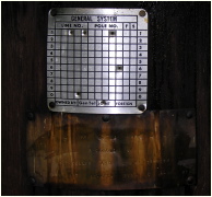 0610061309PotomacRiverHWM.JPG High Water Mark on Potomac at Utility Pole 101/16. Text says: High Water Mark, Recorded by R.C.Culler and J.L. Stookey, 25 June 1972 Between 2100 and 2400 |
|
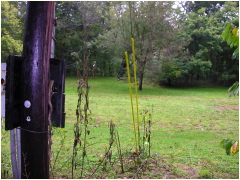 0610061311PotomacRiverHWM.JPG View from behind pole with High Water Mark |
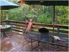 0610061334AZAinWVA.JPG Red bone coon hound -- Red |
|
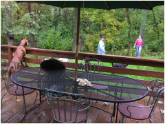 0610061334AZAinWVA_2.JPG Red |
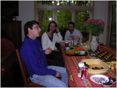 0610061344AZAinWVA.JPG Ian, Kim & Mark |
|
 0610061344AZAinWVA_2.JPG _____, Brandie, Alexandra, Melissa |
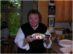 0610061346AZAinWVA.JPG One Hungry "Denny" |
|
 0610061347AZAinWVA.JPG Brandie & Alexandra |
 0610061351AZAinWVA.JPG Kris & Barbara |
|
 0610061355AZAinWVA.JPG Matt, Ben, Rachel & Pip |
 0610061355AZAinWVA_2.JPG Jim & Barbara |
|
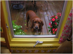 0610061357AZAinWVA.JPG Red |
 0610061358AZAinWVA.JPG Steve, Isaac, & Samantha |
|
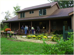 0610061435AZAinWVA.JPG |
This page last updated January 2015
Visit http://www.TechnologySite.org for free
photos and lists of inventions and technology. Visit http://www.ClimateChangeFacts.info for unbiased
information about climate change. Visit http://www.ClimateCooling.org for eye-opening
biased information on global cooling and climate change and visit http://www.OceanAssoc.com for fisheries
and oceans consulting services.