Free Photos of Mattapoisett, Massachusetts, USA
Mattapoisett is a great place to live and work. Free photos of the harbor Ned's Point Lighthouse and many points of interest along the shore are included.
Mattapoisett was first settled in 1750 and was officially incorporated in 1857. Originally a part of Rochester, the land the settlers found had most likely been visited by European traders and sailors. There was also evidence of prior Wampanoag settlements, including burial grounds, on the land. In fact, the town name is Wampanoag for "a place of resting." Lumbering and farming were early trades, but the town thrived when shipyards began opening. From about 1740 to the 1860s, shipbuilding, as well as whaling, were the town's two most important industries. Some 400 ships were built in the shipyards in that period, including the Acushnet, the ship Herman Melville sailed on. The town supplied many of the whalers used on the East Coast in the first half of the nineteenth century, the last one, the Wanderer, being built in 1878, shortly after the discovery of oil in Pennsylvania. After the whaling industry, as well as most of the shipbuilding, died down, the town became one of the many summer towns for prominent New York and Boston residents, including Oliver Wendell Holmes, Jr. Today the town is mostly a residential community, with many people working in New Bedford and Fairhaven, or operating summer tourist industries. (Adapted from: Mattapoisett. (2008). From Wikipedia, The Free Encyclopedia)
See all the free photos: Photo Catalog. Click on any picture for a FREE larger version. Read the licensing rules (REVISED) for your needs. There are hundreds of high quality free photos: use the Google/site search engine. See our digital photography tips : DOs and Don'ts; Choosing a Camera and Accessories , Downloading Photos, and Editing Photos. Visit TechnologySite.org for free photos and lists of inventions and technology and learn Climate Change Facts to see for yourself if you are at risk from global warming.
|
|
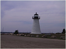 01Mattapoisett.JPG Photo of Ned's Point Lighthouse, Mattapoisett, MA along shores of Mattapoisett Harbor in Buzzards Bay, Massachusetts |
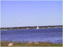 02Mattapoisett.JPG Picture looking across Mattapoisett Harbor from Mattapoisett Neck toward Ned's Point Lighthouse. in Buzzards Bay, Massachusetts |
|
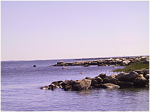 03Mattapoisett.JPG Photograph along shore of Mattapoisett Neck looking out to Buzzard's Bay along shores of Mattapoisett Harbor in Buzzards Bay, Massachusetts opposite Neds Point |
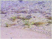 04Mattapoisett.JPG Photo of shoreline in Mattapoisett Harbor featuring seagrass and seaweed in Buzzards Bay, Massachusetts on Mattapoisett Neck |
||
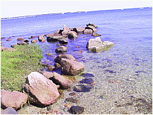 05Mattapoisett.JPG Picture along shore of Mattapoisett Neck looking toward Buzzard's Bay and Cape Cod along shores of Mattapoisett Harbor in Buzzards Bay, Massachusetts opposite Neds Point |
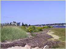 06Mattapoisett.JPG Photograph of shoreline along Harbor Beach on Mattapoisett Neck featuring seagrasses and seaweeds in Buzzards Bay, Massachusetts |
||
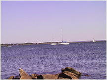 07Mattapoisett.JPG Mattapoisett Harbor photo looking east from Mattapoisett Neck toward Buzzard's Bay and Cape Cod along rocky shores of Mattapoisett Harbor in Buzzards Bay, Massachusetts from Neds Point to Mattapoisett Neck |
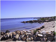 08Mattapoisett.JPG Picture of rock jetties with sandy shore in between taken from Harbor Beach on Mattapoisett Neck looking towards Wood's Hole, Massachusetts across Buzzards Bay |
||
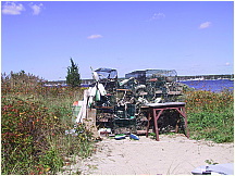 09Mattapoisett.JPG Photograph of lobster pots and buoys on sandy beach of Mattapoisett Harbor, Buzzards Bay, Massachusetts from Neds Point to Mattapoisett Neck |
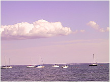 10Mattapoisett.JPG Picture of sail boats moored in Mattapoisett Harbor in Buzzards Bay, Massachusetts off Mattapoisett Neck |
||
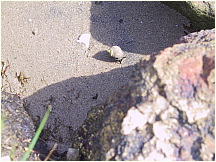 11Mattapoisett.JPG Photo of Periwinkle Snail amongst rocks and sand along Mattapoisett Harbor in Buzzard's Bay Massachusetts onMattapoisett Neck |
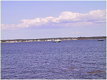 12Mattapoisett.JPG Picture of Mattapoisett Harbor in Buzzard's Bay, looking from Mattapoisett Neck towards Crescent Beach |
||
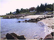 13Mattapoisett.JPG Photograph of beach and rock jetties at Harbor Beach on Mattapoisett Neck, looking south towards Buzzards Bay, Massachusetts |
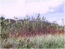 14Mattapoisett.JPG Picture of beach grasses and other foliage found on the shore of Mattapoisett Harbor in Buzzards Bay, Massachusetts on Mattapoisett Neck |
||
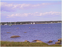 15Mattapoisett.JPG Picture looking across Mattapoisett Harbor from Mattapoisett Neck toward Ned's Point Lighthouse on a late summer day in Buzzards Bay, Massachusetts |
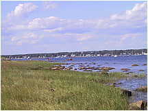 16Mattapoisett.JPG Photo looking across Mattapoisett Harbor shoreline towards Mattapoisett Center from Mattapoisett Neck |
||
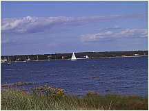 17Mattapoisett.JPG Picture of sailboat passing in front of Ned's Point Lighthouse in Mattapoisett Harbor in Buzzards Bay, Massachusetts from Mattapoisett Neck |
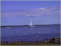 18Mattapoisett.JPG Photo of Mattapoisett Harbor with a sailboat on it's mooring, preparing to sail in Buzzards Bay, Massachusetts taken from Mattapoisett Neck |
||
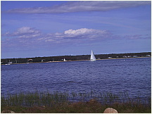 19Mattapoisett.JPG Picture of sailboat passing Ned's Point Lighthouse on it's way out of Mattapoisett Harbor and into Buzzard's Bay. Photo taken from Mattapoisett Neck |
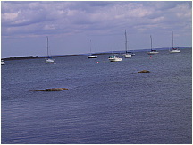 20Mattapoisett.JPG Photograph of sail boats moored in Mattapoisett Harbor, looking toward Angelica Point. Photo taken from Mattapoisett Neck. |
||
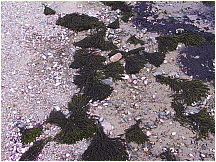 21Mattapoisett.JPG Picture of clumps of seaweed washed ashore in Mattapoisett Harbor in Buzzards Bay, Massachusetts |
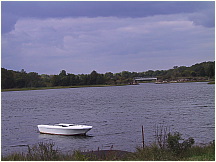 22Mattapoisett.JPG Photo of dingy anchored in Mattapoisett near the train trestle bridge along shores of Mattapoisett Harbor in Buzzards Bay, Massachusetts |
||
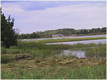 23Mattapoisett.JPG Picture taken from the Mattapoisett Town Landing looking toward the mouth of the Mattapoisett Rive, which flows into Buzzards Bay, Massachusetts |
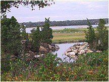 24Mattapoisett.JPG Photograph looking across toward the Eel Pond portion of Mattapoisett Harbor, taken from the Mattapoisett Town Landing on Mattapoisett Neck |
||
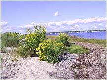 25Mattapoisett.JPG Picture of shoreline along Mattapoisett Harbor featuring Photo of beach grasses, yellow rag weed and other foliage found on the shore of Mattapoisett Harbor in late summer on Mattapoisett Neck |
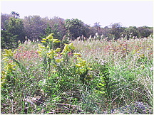 26Mattapoisett.JPG Photograph of beach grasses and other foliage found on the shore of Mattapoisett Harbor in late summer on Mattapoisett Neck |
||
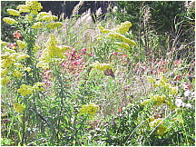 27Mattapoisett.JPG Photo of beach grasses and foliage, with Monarch butterfly, found along the shore of Mattapoisett Harbor in late summer on Mattapoisett Neck |
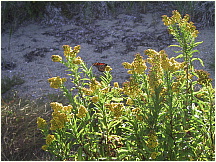 28Mattapoisett.JPG Picture of beach grasses and yellow rag weed, with Monarch butterfly, found along the shore of Mattapoisett Harbor in late summer in Buzzards Bay, Massachusetts on Mattapoisett Neck |