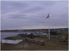
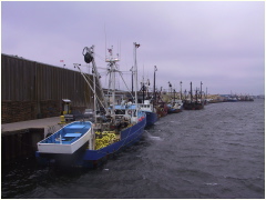
Free Photos of Fairhaven/New Bedford Harbor, Massachusetts.
Located on the North coast of Buzzards Bay, Fairhaven shares the harbor with the major fishing city of New Bedford. Fairhaven split from New Bedford in 1812. Perhaps half the New Bedford fleet is from Fairhaven as it likely was during the heyday of whaling: in 1857, New Bedford had 329 registered whaling ships. . The harbor is located along Route I-195, between Providence, RI, and Cape Cod.
The harbor was the whaling capital of the world and it is now the largest producer of scallops and a major producer of cod, haddock, flounders, herring, lobsters, mackerel and many other species. The harbor is protected by the New Bedford Hurricane Protection Barrier, built after Hurricane Carol devastated the area.
The area was first settled by the American Indians, then the Pilgrims. The American Revolution brought warfare and the first American naval battle in 1775. The British attacked and torched part of Fairhaven in 1778. Joshua Slocum rebuilt the sloop SPRAY in Fairhaven and sailed it around the world. Text is compiled by OceansArt.US from personal knowledge and various sources including Wikipedia: The free encyclopedia.
See all the free photos: Photo Catalog. Click on any picture for a FREE larger version. Read the licensing rules (REVISED) for your needs. There are hundreds of high quality free photos: use the Google/site search engine. See our digital photography tips : DOs and Don'ts; Choosing a Camera and Accessories , Downloading Photos, and Editing Photos. Visit TechnologySite.org for free photos and lists of inventions and technology and learn Climate Change Facts to see for yourself if you are at risk from global warming.
|
|
|
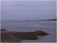 A2_8671OuterHarborNB.JPG Looking south from Fort Phoenix to Fort Rodman in New Bedford. |
|
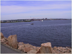 B8752InnerHarborNBLight.JPG Small fishing vessel entering New Bedford harbor through the hurricane barrier. |
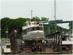 b0607kelleyshipyardyacht.jpg Yacht CANIM on the ways at D. N. Kelley Shipyard in Fairhaven. |
||
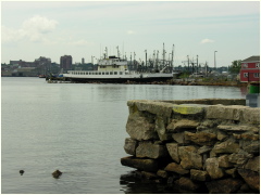 C060719Ferry.JPG Old ferry at the Steamship Authority pier in Fairhaven. |
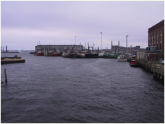 IMG_8652InnerHarbor.JPG New Bedford inner harbor looking south from the US Route 6 bridge. |
||
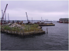 IMG_8653InnerHarbor.JPG New Bedford inner harbor looking southeast from the US Route 6 bridge. |
Purse seiners tied up at the Maritime Terminal in New Bedford |
||
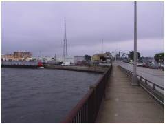 IMG_8657BridgeTr6NB.JPG Looking East towards Cape Cod along the US Route 6 bridge, opened for ship traffic. |
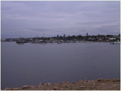 IMG_8670InnerHarbor.JPG Looking Northeast from Fort Phoenix to the Fairhaven side of the inner harbor |
||
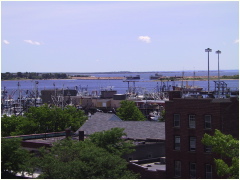 L0023NBedfordHarbor.JPG Looking south from the Whaling Museum towards the hurricane barrier gate |
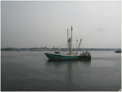 M0606230902Scalloper.JPG Scallop vessel SUSZIE Q transiting New Bedford harbor. |
||
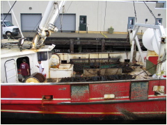 N0606230901ScallopDredges.JPG Having coffee aboard scalloper showing scallop dredges |
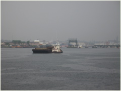 N0606230904TugBAage.JPG Looking North in the inner harbor showing a tug and barge with the Route 6 bridge open to ship traffic. |
||
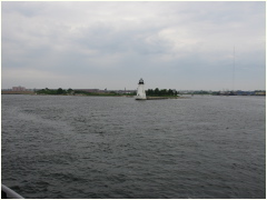 P060623PalmersLighthouse.JPG Palmers Island Light, built of stone in 1849, stands in the inner harbor where it is automated and powered by solar cells. |
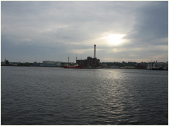 Q060623NewBedfordLightship.JPG The "New Bedford" lightship - formerly the "Pollock Rip" lightship tied up to the power plant pier. |
||
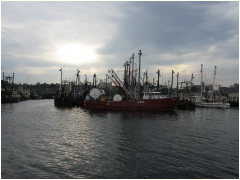 r060623fishingvessels.jpg Groundfishing and scallop vessels tied up in New Bedford. |
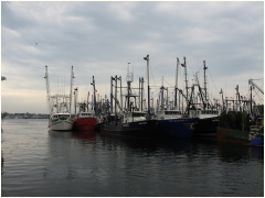 r060623fishingboats.jpg Groundfishing and scallop vessels tied up in New Bedford. |
||
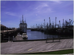 S0001NBedfordHarbor.JPG Groundfishing and scallop vessels tied up in New Bedford across from the US Coast Guard Cutter at the State Pier. |
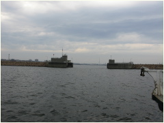 T060623HarborGate.JPG Approaching the hurricane dike from the South aboard the Cuttyhunk Ferry. The harbor is protected by the New Bedford Hurricane Protection Barrier, built after Hurricane Carol devastated the area |
||
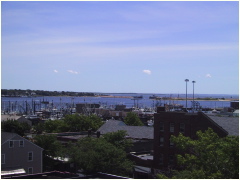 WhalingMuseumSouth.JPG Looking south from the Whaling Museum towards the hurricane barrier gate. The harbor is protected by the New Bedford Hurricane Protection Barrier, built after Hurricane Carol devastated the area |
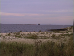 X8759ButlersFlatLight.JPG The Butlers Flat LightHouse was built in 1898 of brick, concrete and cast iron and is now operated by the City of New Bedford. |
||
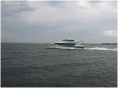 Y06062316FastFerry.JPG The Fast Ferry, connecting New Bedford to the Islands |
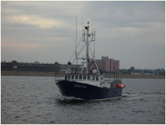 y0606lobsterboatdirection.jpg The lobster boat DIRECTION made famous in a tele-documentary leaving New Bedford Harbor |
||
 y0606tugbargebuzzardsbay.jpg An ocean-going tug pulling a large through Buzzards bay after transiting the Cape Cod Canal. |
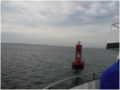 Y0606231650RedBuoyGull.JPG A sea gull riding a red navigation buoy on the approach to New Bedford Harbor. |
||
